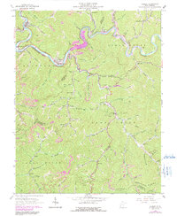
1963 Map of Gilbert
USGS Topo · Published 1991About this map
The Guyandotte River carves a deep path through the coal-rich mountains of Mingo and Wyoming Counties, where industrial activity and local settlements are deeply intertwined. During this era, the Norfolk and Western Railway follows the river's contours, serving as the primary artery for the many Strip Mines and coal tipples found in Sprattsville and Justice. A significant landscape transformation is documented here, with purple hatching marking the future basin of the R. D. Bailey Dam, an area slated to be submerged. This change reflects the shift from a valley floor dominated by small communities like Cub City and Hanover to one defined by large-scale water management. Further south, the map details the rugged Sandy River District, highlighting local landmarks such as Longpole Sch and North Spring Ch, which served the isolated hollows of Ikes Fork and Steeles.
Find a feature on this map
89 named features on this map. Tap any name to fly to it.
Don’t see what you’re looking for? This feature index may not catch every label — zoom into the map to look around manually.
Map Details
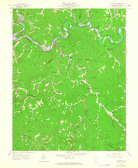
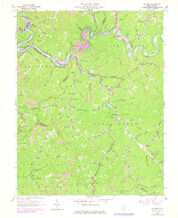
Editions of this 1963 Gilbert Map
3 editions found
Other maps of this area

1891 · Tazewell
USGS Topo · 1:125,000

1891 · Oceana
USGS Topo · 1:125,000

1893 · Oceana
USGS Topo · 1:125,000

1895 · Tazewell
USGS Topo · 1:125,000

1897 · Tazewell
USGS Topo · 1:125,000

1898 · Oceana
USGS Topo · 1:125,000

1909 · Gilbert
USGS Topo · 1:48,000

1910 · Pineville
USGS Topo · 1:48,000

1910 · Iaeger
USGS Topo · 1:48,000

1912 · Gilbert
USGS Topo · 1:62,500