
1945 Map of Gilboa
USGS Topo · Published 1946About this map
Schoharie Creek dominates this mid-1940s landscape, flowing north through a deep valley controlled by the massive Gilboa Dam. The creation of the Schoharie Reservoir dramatically altered the local geography, inundating the old valley floor and shifting the center of Gilboa to higher ground. This map captures the region's transition to a critical water resource for distant urban centers while maintaining its rural character.
Find a feature on this map
45 named features on this map. Tap any name to fly to it.
Don’t see what you’re looking for? This feature index may not catch every label — zoom into the map to look around manually.
Map Details
Editions of this 1945 Gilboa Map
5 editions found
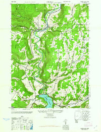
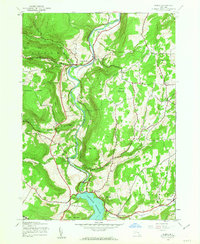
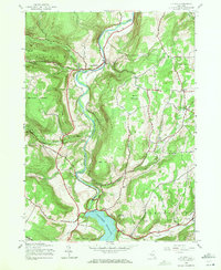
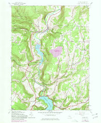
Other maps of this area

1898 · Schoharie
USGS Topo · 1:62,500

1900 · Schoharie
USGS Topo · 1:62,500

1901 · Gilboa
USGS Topo · 1:62,500

1903 · Gilboa
USGS Topo · 1:62,500

1904 · Richmondville
USGS Topo · 1:62,500

1904 · Hobart
USGS Topo · 1:62,500

1943 · Breakabeen
USGS Topo · 1:24,000

1943 · Summit
USGS Topo · 1:24,000
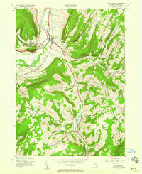
1944 · Middleburgh
USGS Topo · 1:24,000
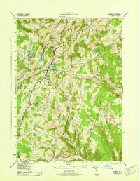
1945 · Summit
USGS Topo · 1:31,680