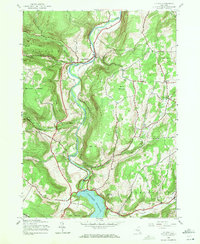
1945 Map of Gilboa
USGS Topo · Published 1971About this map
The Schoharie Reservoir dominates the southern landscape of this 1940s survey, marking a significant engineering transformation of the terrain where Schoharie Creek and Manor Kill meet. This era captures the village of Gilboa situated at the edge of the dam, serving as a focal point for the surrounding rural communities of North Blenheim and Conesville. The map provides detailed locations for family-named landmarks such as the Shafer Cem, Hager Cem, and Safford Cem, which are invaluable for genealogical research in this part of Schoharie County.
Find a feature on this map
42 named features on this map. Tap any name to fly to it.
Don’t see what you’re looking for? This feature index may not catch every label — zoom into the map to look around manually.
Map Details
Editions of this 1945 Gilboa Map
5 editions found

Other maps of this area

1898 · Schoharie
USGS Topo · 1:62,500

1900 · Schoharie
USGS Topo · 1:62,500

1901 · Gilboa
USGS Topo · 1:62,500

1903 · Gilboa
USGS Topo · 1:62,500

1904 · Richmondville
USGS Topo · 1:62,500

1904 · Hobart
USGS Topo · 1:62,500

1943 · Breakabeen
USGS Topo · 1:24,000

1943 · Summit
USGS Topo · 1:24,000
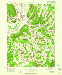
1944 · Middleburgh
USGS Topo · 1:24,000
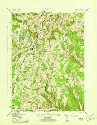
1945 · Summit
USGS Topo · 1:31,680