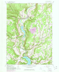
1945 Map of Gilboa
USGS Topo · Published 1980About this map
Schoharie Creek dictates the geography of this Catskill region, serving as the basin for massive utility and infrastructure projects that reshaped the valley. The map documents the complex water management system centered on the Gilboa Dam, which holds the Schoharie Reservoir at the southern edge, while the more recent Blenheim Gilboa Reservoir and its Upper Blenheim Gilboa Reservoir pumped-storage system dominate the central terrain.
Find a feature on this map
50 named features on this map. Tap any name to fly to it.
Don’t see what you’re looking for? This feature index may not catch every label — zoom into the map to look around manually.
Map Details
Editions of this 1945 Gilboa Map
5 editions found

Other maps of this area

1898 · Schoharie
USGS Topo · 1:62,500

1900 · Schoharie
USGS Topo · 1:62,500

1901 · Gilboa
USGS Topo · 1:62,500

1903 · Gilboa
USGS Topo · 1:62,500

1904 · Richmondville
USGS Topo · 1:62,500

1904 · Hobart
USGS Topo · 1:62,500

1943 · Breakabeen
USGS Topo · 1:24,000

1943 · Summit
USGS Topo · 1:24,000
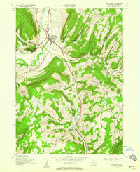
1944 · Middleburgh
USGS Topo · 1:24,000
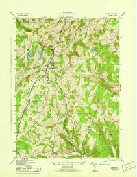
1945 · Summit
USGS Topo · 1:31,680