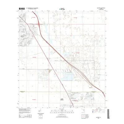
2015 Map of Gilchrist
USGS Topo · Published 2015About this map
Tamiami Trl serves as the primary diagonal artery through this landscape on the boundary of Charlotte and Lee Counties. The settlement pattern is defined by the intricate residential platting of Tropical Gulf Acres in the northwest, where citrus-themed streets like Orangeade Dr, Mango Dr, and Grapefruit Ln grid the terrain. To the south, the expansion of Cape Coral is evident, with neighborhoods like Lakeville and Gilchrist emerging along the southern reaches of the quadrangle.
Find a feature on this map
108 named features on this map. Tap any name to fly to it.
Don’t see what you’re looking for? This feature index may not catch every label — zoom into the map to look around manually.
Map Details
Editions of this 2015 Gilchrist Map
This is the sole edition of this map. No revisions or reprints were ever made.
Other maps of this area
1956 · Cleveland
USGS Topo · 1:24,000
1956 · Punta Gorda SE
USGS Topo · 1:24,000
1956 · Bermont
USGS Topo · 1:24,000

1956 · West Palm Beach
USGS Topo · 1:250,000

1956 · Tampa
USGS Topo · 1:250,000
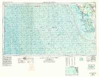
1956 · Charlotte Harbor
USGS Topo · 1:250,000

1957 · West Palm Beach
USGS Topo · 1:250,000
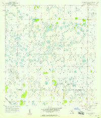
1957 · Tuckers Corner
USGS Topo · 1:24,000
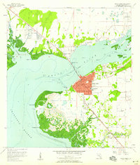
1957 · Punta Gorda
USGS Topo · 1:24,000
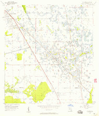
1957 · Gilchrist
USGS Topo · 1:24,000