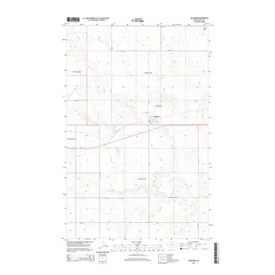
2014 Map of Gildford
USGS Topo · Published 2014About this map
Gildford sits along the northern rail and highway corridor in Hill County, serving as a focal point for the surrounding agricultural plains. This modern survey shows the town's grid, including 1st St W and 5th St, and the local Po located near the center of the community. Outside the town limits, the landscape is defined by the winding course of Sage Creek, which cuts through the high plains alongside England Coulee and Alkali Coulee. Local history and genealogy interest is anchored by the Gildford Hill County Cemetery, situated just north of the primary settlement. The map highlights the intersection of local routes like MT-449 and MT-448 with the primary east-west artery of Us-2, illustrating the transport network essential to this part of Montana.
Find a feature on this map
28 named features on this map. Tap any name to fly to it.
Don’t see what you’re looking for? This feature index may not catch every label — zoom into the map to look around manually.
Map Details
Editions of this 2014 Gildford Map
This is the sole edition of this map. No revisions or reprints were ever made.
Other maps of this area
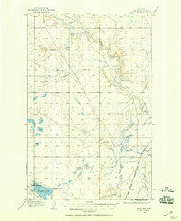
1904 · Boxelder
USGS Topo · 1:62,500
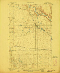
1906 · Kremlin
USGS Topo · 1:62,500
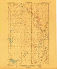
1906 · Boxelder
USGS Topo · 1:62,500
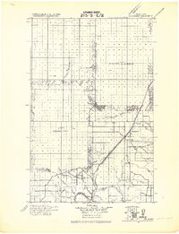
1919 · Big Sandy
USGS Topo · 1:125,000
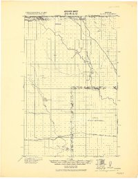
1920 · Gildford
USGS Topo · 1:125,000
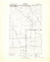
1943 · Gildford
USGS Topo · 1:125,000
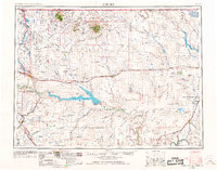
1954 · Shelby
USGS Topo · 1:250,000
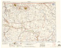
1958 · Shelby
USGS Topo · 1:250,000
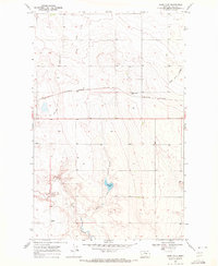
1969 · Sage Lake
USGS Topo · 1:24,000
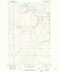
1969 · Box Elder NW
USGS Topo · 1:24,000