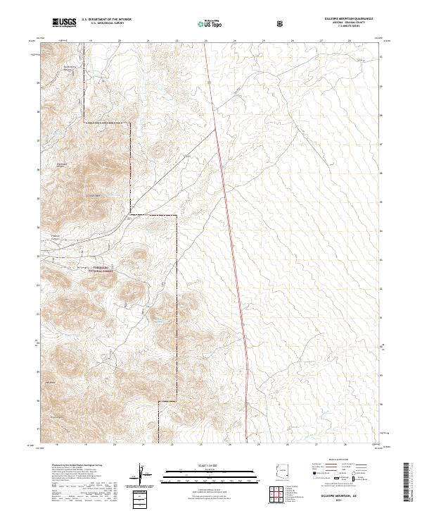
2021 Map of Gillespie Mountain
USGS Topo · Published 2021About this map
Gillespie Mtn dominates this portion of southeastern Arizona, serving as a prominent landmark within the Coronado National Forest. This high-desert landscape is defined by its sophisticated water management system of named tanks and catchments, reflecting the region's reliance on intermittent water sources for ranching and local utility. Features like Rock Tank, Wash Tank, and Oak Canyon Tank are positioned along complex drainage networks such as Stockton Pass Wash and Dutch Henry Canyon. The presence of P Ranch Canyon suggests a history of land use tied to territorial ranching traditions. Moving south, the terrain transitions into a series of named draws and washes, including Oak Draw and W A Wash, illustrating how the dry topography dictates the placement of trails and rural infrastructure in this section of Graham County.
Find a feature on this map
29 named features on this map. Tap any name to fly to it.
Don’t see what you’re looking for? This feature index may not catch every label — zoom into the map to look around manually.
Map Details
Editions of this 2021 Gillespie Mountain Map
This is the sole edition of this map. No revisions or reprints were ever made.
Other maps of this area

1922 · Willcox
USGS Topo · 1:125,000

1942 · Mt. Graham
USGS Topo · 1:62,500

1943 · Willcox
USGS Topo · 1:62,500

1944 · Fisher Hills
USGS Topo · 1:62,500

1945 · Mt. Graham
USGS Topo · 1:62,500

1954 · Silver City
USGS Topo · 1:250,000

1957 · Luzena
USGS Topo · 1:62,500

1958 · Silver City
USGS Topo · 1:250,000

1958 · Willcox
USGS Topo · 1:62,500

1962 · Silver City
USGS Topo · 1:250,000