
1958 Map of Willcox
USGS Topo · Published 1959About this map
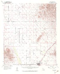
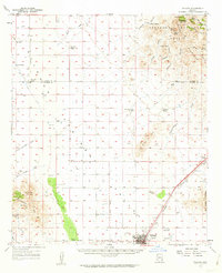
The high desert basin of Willcox serves as a critical junction for the Southern Pacific railroad during the late 1950s. This survey illustrates the transition from the rugged mountain slopes of the Winchester Mountains and the Dos Cabezas Mountains to the expansive ranching lands of the Sulphur Springs Valley. Large-scale cattle operations are prominent throughout the flats, including the Monzingo Ranch, Palmer Ranch, and Brookreson Ranch. Local history details include the Cemetery, a High Sch, and a Drive-in Theater near the town center. To the northeast, the terrain rises sharply into the Coronado National Forest, where steep canyons like Gilman Canyon and Apache Canyon drain toward the intermittent Dry Lakes. The map also captures the path of the Fort Grant Road and the passage through Railroad Pass, highlighting the importance of this corridor for both transit and southwestern agriculture.
Find a feature on this map
48 named features on this map. Tap any name to fly to it.
Don’t see what you’re looking for? This feature index may not catch every label — zoom into the map to look around manually.
Map Details
Editions of this 1958 Willcox Map
3 editions found
Other maps of this area

1922 · Willcox
USGS Topo · 1:125,000

1940 · Sierra Bonita Ranch
USGS Topo · 1:62,500

1942 · Sierra Bonita Ranch
USGS Topo · 1:62,500

1942 · Mt. Graham
USGS Topo · 1:62,500

1943 · Dos Cabezas
USGS Topo · 1:62,500

1943 · Willcox
USGS Topo · 1:62,500

1943 · Cochise
USGS Topo · 1:62,500

1943 · Dragoon
USGS Topo · 1:62,500

1943 · Sierra Bonita Ranch
USGS Topo · 1:62,500

1943 · Winchester Mts.
USGS Topo · 1:62,500