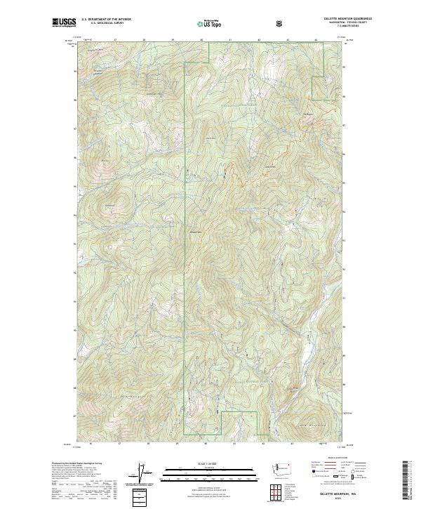
2023 Map of Gillette Mountain
USGS Topo · Published 2023About this map
Colville National Forest dominates this section of the Selkirk Mountains, where the landscape is defined by a dense network of drainages and prominent peaks. The eastern edge of the quadrangle follows the Aladdin Rd corridor along Aladdin Marble Creek, while the western slopes are carved by Indian Creek and Gillette Creek. This area of Stevens County shows the remnants of earlier activity at Old Douglas and Comstock, likely tied to the mining and timber history of the region.
Find a feature on this map
43 named features on this map. Tap any name to fly to it.
Don’t see what you’re looking for? This feature index may not catch every label — zoom into the map to look around manually.
Map Details
Editions of this 2023 Gillette Mountain Map
This is the sole edition of this map. No revisions or reprints were ever made.
Other maps of this area

1929 · Colville
USGS Topo · 1:125,000

1933 · Colville
USGS Topo · 1:125,000

1952 · Gillette Mtn
USGS Topo · 1:24,000

1952 · Spirit
USGS Topo · 1:24,000

1952 · Echo Valley
USGS Topo · 1:24,000

1952 · White Mud Lake
USGS Topo · 1:24,000

1952 · Aladdin
USGS Topo · 1:24,000

1952 · Colville
USGS Topo · 1:24,000

1958 · Sandpoint
USGS Topo · 1:250,000

1963 · Sandpoint
USGS Topo · 1:250,000