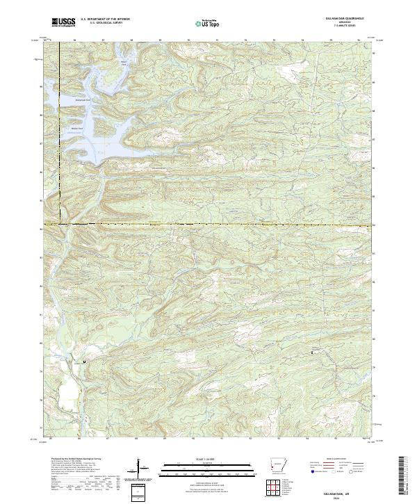
2024 Map of Gillham Dam
USGS Topo · Published 2024About this map
Gillham Lake and the winding Cossatot River dominate this modern topographical record of the borders where Sevier, Howard, and Polk counties meet. The landscape is defined by its numerous watercourses and traditional crossings, including Wiser Ford, Dalrymple Ford, and Mallon Ford. These naming conventions point to the long-standing importance of river navigation and livestock movement in this part of western Arkansas.
Find a feature on this map
106 named features on this map. Tap any name to fly to it.
Don’t see what you’re looking for? This feature index may not catch every label — zoom into the map to look around manually.
Map Details
Editions of this 2024 Gillham Dam Map
This is the sole edition of this map. No revisions or reprints were ever made.
Other maps of this area

1913 · De Queen
USGS Topo · 1:125,000

1950 · Mcalester
USGS Topo · 1:250,000

1959 · Umpire
USGS Topo · 1:62,500

1959 · Cove
USGS Topo · 1:62,500

1962 · McAlester
USGS Topo · 1:250,000

1964 · Gillham Dam
USGS Topo · 1:24,000

1964 · Gillham
USGS Topo · 1:24,000

1965 · McAlester
USGS Topo · 1:250,000
1966 · De Queen
USGS Topo · 1:24,000
1966 · Dierks Dam
USGS Topo · 1:24,000