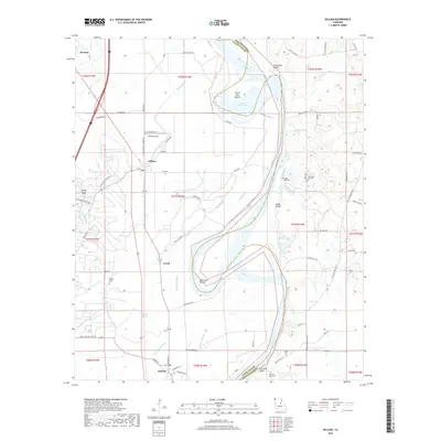
2018 Map of Gilliam
USGS Topo · Published 2018About this map
The Red River defines the landscape of northwestern Louisiana in this 2018 survey, carving a complex path between Caddo and Bossier Parishes. The area is marked by alluvial bottomlands and significant bluffs, including Coushatta Bluffs and Carolina Bluff, which rise above the floodplains. Small settlements like Gilliam and Hosston are connected by a network of rural roads such as Gilliam Levee Rd and the historic Old Plain Dealing Rd.
Find a feature on this map
83 named features on this map. Tap any name to fly to it.
Don’t see what you’re looking for? This feature index may not catch every label — zoom into the map to look around manually.
Map Details
Editions of this 2018 Gilliam Map
This is the sole edition of this map. No revisions or reprints were ever made.
Other maps of this area
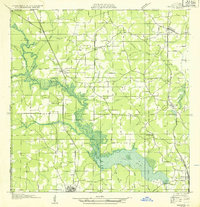
1932 · Hosston NW
USGS Topo · 1:31,680
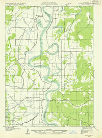
1932 · Hosston NE
USGS Topo · 1:31,680
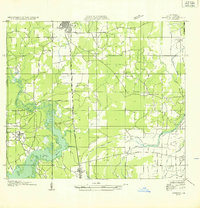
1932 · Hosston SW
USGS Topo · 1:31,680
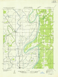
1932 · Hosston SE
USGS Topo · 1:31,680
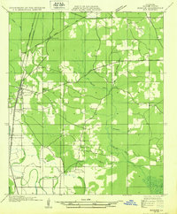
1932 · Bossier NW
USGS Topo · 1:31,680
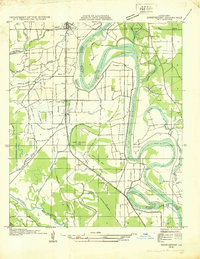
1932 · Shreveport NE
USGS Topo · 1:31,680
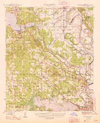
1948 · Mooringsport
USGS Topo · 1:62,500
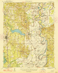
1948 · Vivian
USGS Topo · 1:62,500
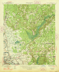
1948 · Bossier City
USGS Topo · 1:62,500
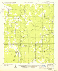
1950 · Plain Dealing SW
USGS Topo · 1:31,680