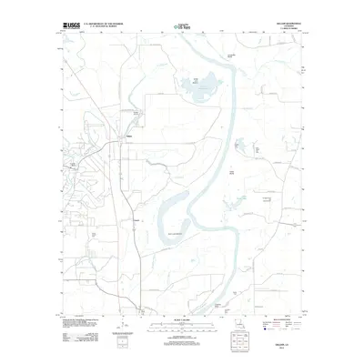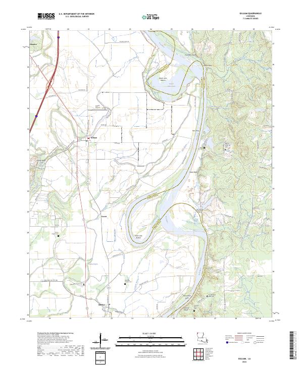
2024 Map of Gilliam
USGS Topo · Published 2024About this map
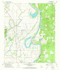
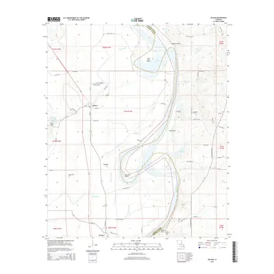
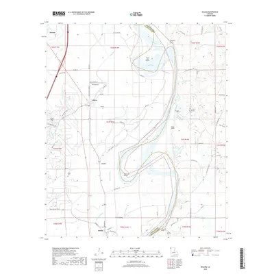
The Red River dominates this portion of Caddo and Bossier Parish, winding through a landscape shaped by dynamic alluvial processes. The map documents a corridor of historic river crossings, including Gilmer Ferry, Peru Ferry, Pine Bluff Ferry, and Rush Point Ferry, which once linked the agricultural lands of Dutch John Bottom and Holm Lake Bottom to settlements like Gilliam and Hosston. These crossings and the proximity of Gilliam Levee Rd highlight the enduring importance of river management and transport in this fertile valley.
Find a feature on this map
86 named features on this map. Tap any name to fly to it.
Don’t see what you’re looking for? This feature index may not catch every label — zoom into the map to look around manually.
Map Details
Editions of this 2024 Gilliam Map
This is the sole edition of this map. No revisions or reprints were ever made.
Historical Maps of Hosston Through Time
6 maps found