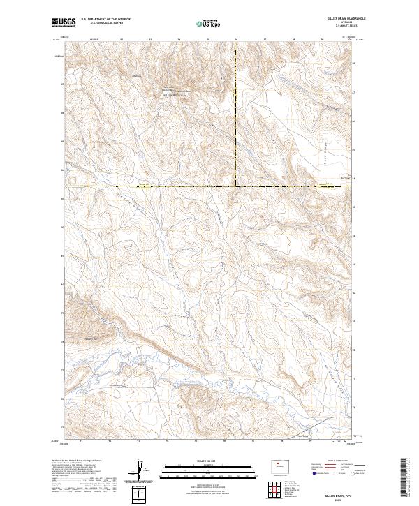
2023 Map of Gillies Draw
USGS Topo · Published 2023About this map
Crow Woman Buttes, including the distinct summits of West Crow Woman Butte and East Crow Woman Butte, dominate the northern landscape of this region where the borders of Park, Washakie, and Hot Springs counties converge. This high desert terrain is defined by an intricate network of drainage systems and early water management infrastructure. The presence of the Quartz Ditch, Pine Tree Extension Ditch, and Murphy Ditch indicates a history of water diversion necessary for sustaining life and livestock in the arid Big Horn Basin.
Find a feature on this map
32 named features on this map. Tap any name to fly to it.
Don’t see what you’re looking for? This feature index may not catch every label — zoom into the map to look around manually.
Map Details
Editions of this 2023 Gillies Draw Map
This is the sole edition of this map. No revisions or reprints were ever made.
Other maps of this area

1913 · Grass Creek Basin
USGS Topo · 1:62,500

1914 · Blue Mesa
USGS Topo · 1:62,500

1915 · Grass Creek Basin
USGS Topo · 1:62,500

1916 · Blue Mesa
USGS Topo · 1:62,500

1951 · Hillberry Rim
USGS Topo · 1:24,000

1951 · Dutch Nick Flat SW
USGS Topo · 1:24,000

1951 · Gillies Draw
USGS Topo · 1:24,000

1951 · Wilson Spring
USGS Topo · 1:24,000

1951 · Dead Indian Hill
USGS Topo · 1:24,000

1951 · Dutch Nick Flat NW
USGS Topo · 1:24,000