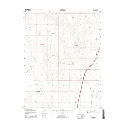
2014 Map of Gillies Hill
USGS Topo · Published 2014About this map
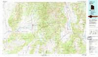
Cunningham Hill and the rugged drainage of Cunningham Wash dominate the southern landscape of this 2014 survey. The terrain is defined by a series of prominent rises including Crater Knoll, Gillies Hill, and the volcanic-named Red Knoll to the north. These features overlook high-altitude plains like Maple Flats and the expansive Wildcat Fields. The presence of numerous watering points, such as Cowboy Spring, Hawks Nest Spring, and Wiregrass Spring, indicates the area's importance for livestock and wildlife in a high-desert environment. Natural watercourses like Wildcat Cr and Indian Cr are supplemented by the Manderfield Ditch, illustrating the managed irrigation essential to this part of Beaver County. Traceable routes like Wiregrass RD and Cunningham Wash RD navigate through the canyons and ridges of the Mineral Mountain range.
Find a feature on this map
39 named features on this map. Tap any name to fly to it.
Don’t see what you’re looking for? This feature index may not catch every label — zoom into the map to look around manually.
Map Details
Editions of this 2014 Gillies Hill Map
This is the sole edition of this map. No revisions or reprints were ever made.
Other maps of this area
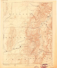
1885 · Beaver
USGS Topo · 1:250,000

1953 · Richfield
USGS Topo · 1:250,000
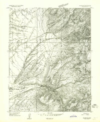
1954 · Beaver SE
USGS Topo · 1:24,000
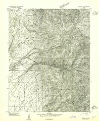
1954 · Beaver NE
USGS Topo · 1:24,000

1958 · Richfield
USGS Topo · 1:250,000
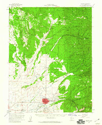
1958 · Beaver
USGS Topo · 1:62,500
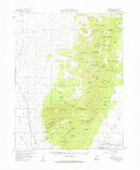
1958 · Adamsville
USGS Topo · 1:62,500
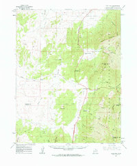
1962 · Cove Fort
USGS Topo · 1:62,500
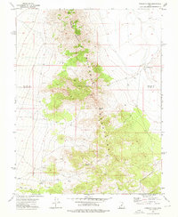
1973 · Pinnacle Pass
USGS Topo · 1:24,000
1980 · Beaver
USGS Topo · 1:100,000