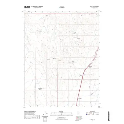
2020 Map of Gillies Hill
USGS Topo · Published 2020About this map
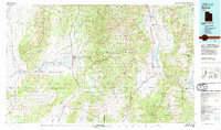
Cunningham Hill and the adjacent Cunningham Wash dominate the southwestern quadrant of this Beaver County landscape, where the high desert terrain is marked by a network of isolated water sources and distinctive geological formations. A series of reliable springs, including Carlyle Spring, Cowboy Spring, and Hawks Nest Spring, provided essential water in an arid environment otherwise defined by ephemeral features like Little Dry Lake. The eastern edge of the survey shows more intensive land use near the valley floor, specifically around the Wildcat Fields and the engineered Manderfield Ditch. This 2020 map documents a transition from the rugged elevations of Gillies Hill and The Hogback down toward the transportation corridors and managed water systems that support local ranching and agricultural life.
Find a feature on this map
31 named features on this map. Tap any name to fly to it.
Don’t see what you’re looking for? This feature index may not catch every label — zoom into the map to look around manually.
Map Details
Editions of this 2020 Gillies Hill Map
This is the sole edition of this map. No revisions or reprints were ever made.
Other maps of this area
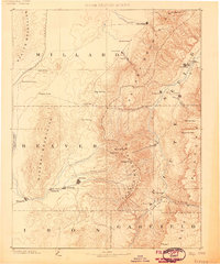
1885 · Beaver
USGS Topo · 1:250,000

1953 · Richfield
USGS Topo · 1:250,000
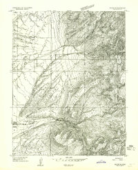
1954 · Beaver SE
USGS Topo · 1:24,000
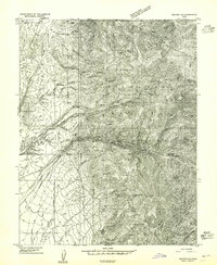
1954 · Beaver NE
USGS Topo · 1:24,000

1958 · Richfield
USGS Topo · 1:250,000
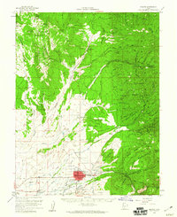
1958 · Beaver
USGS Topo · 1:62,500
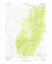
1958 · Adamsville
USGS Topo · 1:62,500
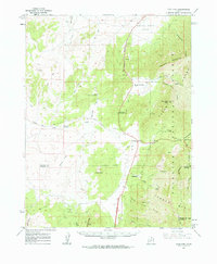
1962 · Cove Fort
USGS Topo · 1:62,500
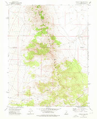
1973 · Pinnacle Pass
USGS Topo · 1:24,000
1980 · Beaver
USGS Topo · 1:100,000