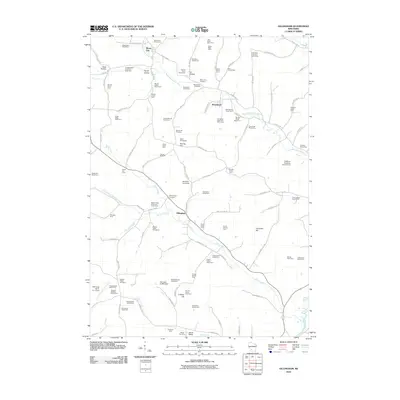
2010 Map of Gillingham
USGS Topo · Published 2010About this map
Bloom City and Gillingham anchor this rural landscape in Richland County, where the agricultural heritage of Wisconsin is written across every section line. The map reveals a high density of named family operations, from the Evergreen Stock and Dairy Farm near Woodstock to the Benton Dale Stock and Grain Farm along Marshall Creek. This persistent pattern of named homesteads, such as the Gillingham Homestead, reflects a deeply rooted community where land identity is tied to specific lineage and livestock specialization.
Find a feature on this map
119 named features on this map. Tap any name to fly to it.
Don’t see what you’re looking for? This feature index may not catch every label — zoom into the map to look around manually.
Map Details
Editions of this 2010 Gillingham Map
This is the sole edition of this map. No revisions or reprints were ever made.
Other maps of this area

1905 · Richland Center
USGS Topo · 1:125,000

1926 · La Farge
USGS Topo · 1:62,500

1927 · Hillsboro
USGS Topo · 1:62,500

1933 · Boaz
USGS Topo · 1:62,500

1958 · La Crosse
USGS Topo · 1:250,000

1960 · Richland Center
USGS Topo · 1:62,500

1961 · La Crosse
USGS Topo · 1:250,000

1965 · La Crosse
USGS Topo · 1:250,000

1965 · La Farge
USGS Topo · 1:62,500

1966 · Hillsboro
USGS Topo · 1:62,500