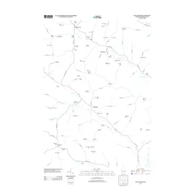
2013 Map of Gillingham
USGS Topo · Published 2013About this map
The W Br Pine River and Fancy Cr systems dictate the settlement patterns of this Richland County landscape, where agriculture remains deeply specialized. In the early 21st century, the region around Gillingham and Woodstock is defined by a dense concentration of named agricultural estates rather than traditional town blocks. The names reflect a mix of general livestock and dairy operations, such as Snyders Valley Stock and Dairy Farm and Evergreen Stock and Dairy Farm, alongside highly specific operations like the Shropshire Sheep Farm and Glen Echo Fruit and Dairy Farm. This level of farm-specific labeling is rare in modern surveys, providing a detailed record of land use and family holdings like the Hart Homestead or Gillingham Homestead. Terrain features like Campbell Hill and Cribben Hill rise above the branching creeks and numerous small stock farms, while the 36 Reservoir serves as a notable water management feature in the southern portion of the quadrangle.
Find a feature on this map
107 named features on this map. Tap any name to fly to it.
Don’t see what you’re looking for? This feature index may not catch every label — zoom into the map to look around manually.
Map Details
Editions of this 2013 Gillingham Map
This is the sole edition of this map. No revisions or reprints were ever made.
Other maps of this area

1905 · Richland Center
USGS Topo · 1:125,000

1926 · La Farge
USGS Topo · 1:62,500

1927 · Hillsboro
USGS Topo · 1:62,500

1933 · Boaz
USGS Topo · 1:62,500

1958 · La Crosse
USGS Topo · 1:250,000

1960 · Richland Center
USGS Topo · 1:62,500

1961 · La Crosse
USGS Topo · 1:250,000

1965 · La Crosse
USGS Topo · 1:250,000

1965 · La Farge
USGS Topo · 1:62,500

1966 · Hillsboro
USGS Topo · 1:62,500