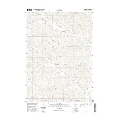
2016 Map of Gillingham
USGS Topo · Published 2016About this map
The W Br Pine River and its numerous tributaries carve a series of deep hollows and valleys through Richland County, shaping the settlement patterns of this corner of Wisconsin. Small rural centers like Woodstock and Gillingham are situated along these watercourses, connected by a network of winding roads such as Co Hwy D and Co Hwy I that follow the natural contours of the land. The ridge-and-valley topography is evident in landmarks like English Ridge and Cribben Hill, which rise above the surrounding drainages. Genealogy researchers will find significant value in the distribution of local burial grounds, including Woodstock Cem, Bloom City Cem, and Fancy Creek Cem, often located near the small summits or valley floors. The map also documents the drainage of Fancy Cr and Marshall Cr, showing how the early agricultural layout was dictated by the drainage of these smaller streams.
Find a feature on this map
81 named features on this map. Tap any name to fly to it.
Don’t see what you’re looking for? This feature index may not catch every label — zoom into the map to look around manually.
Map Details
Editions of this 2016 Gillingham Map
This is the sole edition of this map. No revisions or reprints were ever made.
Other maps of this area

1905 · Richland Center
USGS Topo · 1:125,000

1926 · La Farge
USGS Topo · 1:62,500

1927 · Hillsboro
USGS Topo · 1:62,500

1933 · Boaz
USGS Topo · 1:62,500

1958 · La Crosse
USGS Topo · 1:250,000

1960 · Richland Center
USGS Topo · 1:62,500

1961 · La Crosse
USGS Topo · 1:250,000

1965 · La Crosse
USGS Topo · 1:250,000

1965 · La Farge
USGS Topo · 1:62,500

1966 · Hillsboro
USGS Topo · 1:62,500