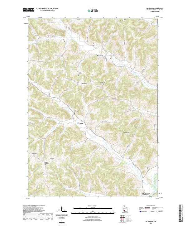
2022 Map of Gillingham
USGS Topo · Published 2022About this map
Fancy Creek and the West Branch Pine River carve through this Richland County landscape, where small hamlets and rural gathering places define the local geography. The settlement of Gillingham sits near the confluence of local valleys, while Bloom City and Woodstock anchor the northern reaches of the quadrangle. For genealogists, the map is particularly rich in burial sites, including the Bloom City Cemetery, Woodstock Cemetery, and the English Ridge Cemetery located atop the high ground of English Ridge. These sites, along with the Springhill Field and various family-named hills like Cribben Hill and Campbell Hill, reveal a land use pattern focused on the ridges and valley floors. The presence of 36 Reservoir and numerous winding roads like Spring Hill Road and Antioch Lane further illustrate the transition between agricultural use and the natural drainage of the Driftless Area.
Find a feature on this map
70 named features on this map. Tap any name to fly to it.
Don’t see what you’re looking for? This feature index may not catch every label — zoom into the map to look around manually.
Map Details
Editions of this 2022 Gillingham Map
This is the sole edition of this map. No revisions or reprints were ever made.
Other maps of this area

1905 · Richland Center
USGS Topo · 1:125,000

1926 · La Farge
USGS Topo · 1:62,500

1927 · Hillsboro
USGS Topo · 1:62,500

1933 · Boaz
USGS Topo · 1:62,500

1958 · La Crosse
USGS Topo · 1:250,000

1960 · Richland Center
USGS Topo · 1:62,500

1961 · La Crosse
USGS Topo · 1:250,000

1965 · La Crosse
USGS Topo · 1:250,000

1965 · La Farge
USGS Topo · 1:62,500

1966 · Hillsboro
USGS Topo · 1:62,500