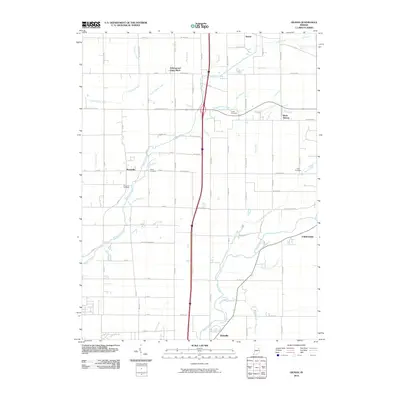
2010 Map of Gilman
USGS Topo · Published 2010About this map
White River and its southern tributaries, including Small Branch and Mount Pleasant Branch, define the lower reaches of this Delaware County landscape. The settlement of Daleville sits near the river's curve, while Yorktown occupies the eastern edge where York Prairie Creek meets the larger waterway. This 2010 survey illustrates a region shaped by agricultural drainage and family heritage, evidenced by the numerous small burial grounds such as Hawk Cemetery and Jones Cemetery scattered among the township sections.
Find a feature on this map
90 named features on this map. Tap any name to fly to it.
Don’t see what you’re looking for? This feature index may not catch every label — zoom into the map to look around manually.
Map Details
Editions of this 2010 Gilman Map
This is the sole edition of this map. No revisions or reprints were ever made.
Other maps of this area

1952 · Muncie West
USGS Topo · 1:24,000

1952 · Anderson
USGS Topo · 1:24,000

1953 · Muncie
USGS Topo · 1:250,000

1956 · Muncie
USGS Topo · 1:250,000

1960 · Gilman
USGS Topo · 1:24,000

1960 · Middletown
USGS Topo · 1:24,000

1960 · Alexandria
USGS Topo · 1:24,000

1960 · Wheeling
USGS Topo · 1:24,000

1960 · Sulphur Springs
USGS Topo · 1:24,000

1960 · Gaston
USGS Topo · 1:24,000