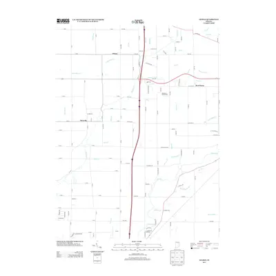
2013 Map of Gilman
USGS Topo · Published 2013About this map
White River and its numerous tributaries dominate this landscape northeast of Anderson, revealing a dense network of watercourses that shaped the development of Delaware County. The settlement of Gilman sits at a crossroads in the northern section, while Reed Station and Moonville appear as distinct markers of local community history. The land is intricately partitioned by a grid of county roads, with Interstate 69 cutting a modern path through the center of the survey. A variety of smaller streams, including Killbuck Cr, Pleasant Run Cr, and York Prairie Cr, reveal the natural drainage patterns of this agricultural region. Evidence of the area's infrastructure is visible at the Rail Br and Diamond P. Field Airport, showing how transportation and industry have integrated into the rural environment over time.
Find a feature on this map
111 named features on this map. Tap any name to fly to it.
Don’t see what you’re looking for? This feature index may not catch every label — zoom into the map to look around manually.
Map Details
Editions of this 2013 Gilman Map
This is the sole edition of this map. No revisions or reprints were ever made.
Other maps of this area
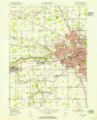
1952 · Muncie West
USGS Topo · 1:24,000
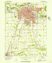
1952 · Anderson
USGS Topo · 1:24,000
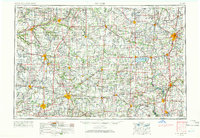
1953 · Muncie
USGS Topo · 1:250,000
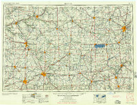
1956 · Muncie
USGS Topo · 1:250,000
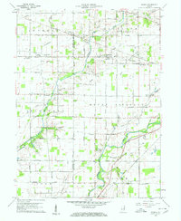
1960 · Gilman
USGS Topo · 1:24,000
1960 · Middletown
USGS Topo · 1:24,000
1960 · Alexandria
USGS Topo · 1:24,000
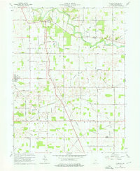
1960 · Wheeling
USGS Topo · 1:24,000
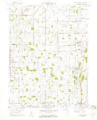
1960 · Sulphur Springs
USGS Topo · 1:24,000
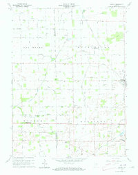
1960 · Gaston
USGS Topo · 1:24,000