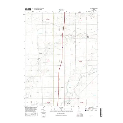
2016 Map of Gilman
USGS Topo · Published 2016About this map
Killbuck Creek and its many tributaries, including Little Killbuck Cr and Moon Br, dominate this central Indiana landscape as they wind toward the White River in the south. The 2016 survey captures a predominantly agricultural region across the border of Madison and Delaware counties, where small settlements like Gilman and Moonville serve as local anchors. Family history is preserved in small burial grounds such as Heagy Cem and Moonville Cem, which are scattered among the well-defined township and range lines. The presence of Reed Station and the Diamond P. Field airstrip reflects the evolution of local transportation from rail-era origins to modern regional transit. This detailed topographic study illustrates the persistence of rural community centers amidst a grid of county roads, providing a clear record of the area's drainage patterns and land use.
Find a feature on this map
113 named features on this map. Tap any name to fly to it.
Don’t see what you’re looking for? This feature index may not catch every label — zoom into the map to look around manually.
Map Details
Editions of this 2016 Gilman Map
This is the sole edition of this map. No revisions or reprints were ever made.
Other maps of this area
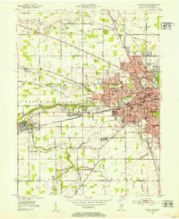
1952 · Muncie West
USGS Topo · 1:24,000
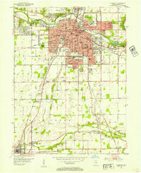
1952 · Anderson
USGS Topo · 1:24,000
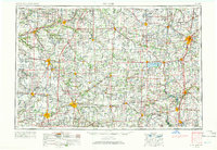
1953 · Muncie
USGS Topo · 1:250,000
1956 · Muncie
USGS Topo · 1:250,000
1960 · Gilman
USGS Topo · 1:24,000
1960 · Middletown
USGS Topo · 1:24,000
1960 · Alexandria
USGS Topo · 1:24,000
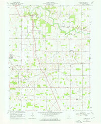
1960 · Wheeling
USGS Topo · 1:24,000
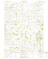
1960 · Sulphur Springs
USGS Topo · 1:24,000
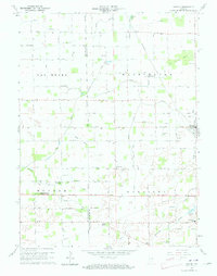
1960 · Gaston
USGS Topo · 1:24,000