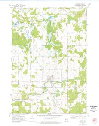
1973 Map of Gilman
USGS Topo · Published 1976About this map
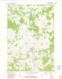
Gilman serves as the central hub of this Taylor County landscape in the early 1970s, where the Soo Line Railroad intersects with the local road network. The village is well-defined by its residential grid, Water Tank, and nearby Sewage Disposal Ponds, reflecting the infrastructure of a mid-century rural center. To the south, the settlement of Polley sits near the Yellow River, while the northern reaches are dominated by the extensive wetlands and managed waters of the Pershing State Wildlife Area.
Find a feature on this map
25 named features on this map. Tap any name to fly to it.
Don’t see what you’re looking for? This feature index may not catch every label — zoom into the map to look around manually.
Map Details
Editions of this 1973 Gilman Map
2 editions found
Other maps of this area

1945 · Black River
USGS Topo · 1:48,000

1947 · Sheldon
USGS Topo · 1:48,000

1949 · Sheldon
USGS Topo · 1:48,000

1949 · Jump River Fire Tower
USGS Topo · 1:48,000

1951 · Lublin
USGS Topo · 1:48,000

1951 · Gilman
USGS Topo · 1:62,500

1953 · Rice Lake
USGS Topo · 1:250,000

1959 · Rice Lake
USGS Topo · 1:250,000
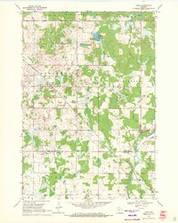
1969 · Lublin
USGS Topo · 1:24,000
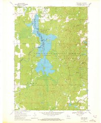
1969 · Lublin NW
USGS Topo · 1:24,000