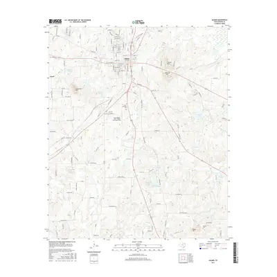
2016 Map of Gilmer
USGS Topo · Published 2016About this map
Gilmer serves as the focal point of this East Texas survey, situated at the intersection of several key regional routes. The settlement's street grid and developed areas provide a clear view of the town's footprint as it appeared in the mid-2010s. The surrounding landscape is defined by the winding course of Tanyard Cr, which drains the undulating terrain northwest of the town center. This map reflects the modern character of the county seat, documenting the relationship between the established residential and commercial hub of Gilmer and the nearby natural watercourses that have historically shaped the local topography.
Find a feature on this map
2 named features on this map. Tap any name to fly to it.
Don’t see what you’re looking for? This feature index may not catch every label — zoom into the map to look around manually.
Map Details
Editions of this 2016 Gilmer Map
This is the sole edition of this map. No revisions or reprints were ever made.
Other maps of this area

1956 · Tyler
USGS Topo · 1:250,000

1960 · Big Sandy
USGS Topo · 1:24,000

1960 · Pritchett
USGS Topo · 1:24,000

1960 · Bettie
USGS Topo · 1:24,000

1960 · White Oak
USGS Topo · 1:24,000

1960 · Gilmer
USGS Topo · 1:24,000

1960 · Thomas
USGS Topo · 1:24,000

1960 · Coffeeville
USGS Topo · 1:24,000

1960 · Glenwood
USGS Topo · 1:24,000

1960 · Gladewater
USGS Topo · 1:24,000