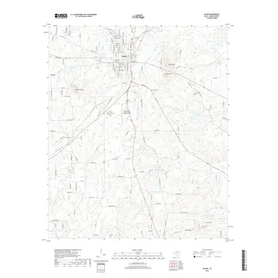
2019 Map of Gilmer
USGS Topo · Published 2019About this map
Gilmer serves as the focal point of this Northeast Texas landscape, where the town's street grid transitions into a network of winding roads and prominent local elevations. The topography is defined by several distinct summits, including Underwood Mtn, Simpson Mtn, and McDonald Mtn, which rise above the creek valleys of Glade Cr and Gum Cr. This 2019 survey documents the modern layout of the region, featuring municipal infrastructure like Fox Stephens Field - Gilmer Municipal Airport and the Sunset Memorial Park.
Find a feature on this map
142 named features on this map. Tap any name to fly to it.
Don’t see what you’re looking for? This feature index may not catch every label — zoom into the map to look around manually.
Map Details
Editions of this 2019 Gilmer Map
This is the sole edition of this map. No revisions or reprints were ever made.
Other maps of this area

1956 · Tyler
USGS Topo · 1:250,000
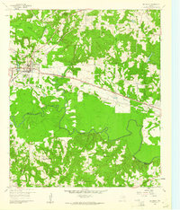
1960 · Big Sandy
USGS Topo · 1:24,000
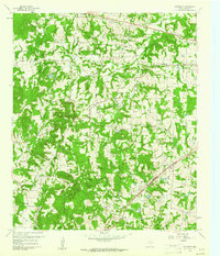
1960 · Pritchett
USGS Topo · 1:24,000
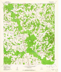
1960 · Bettie
USGS Topo · 1:24,000
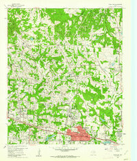
1960 · White Oak
USGS Topo · 1:24,000
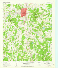
1960 · Gilmer
USGS Topo · 1:24,000
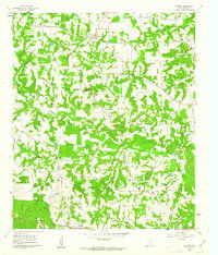
1960 · Thomas
USGS Topo · 1:24,000
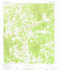
1960 · Coffeeville
USGS Topo · 1:24,000
1960 · Glenwood
USGS Topo · 1:24,000
1960 · Gladewater
USGS Topo · 1:24,000