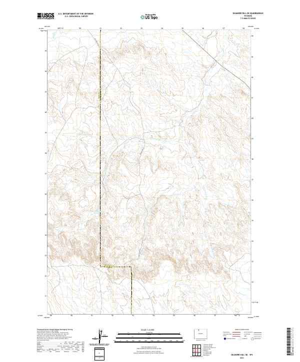
2021 Map of Gilmore Hill SE
USGS Topo · Published 2021About this map
The Jim Bridger Trl serves as a historic corridor through this section of the Bighorn Basin, tracing a path through the arid landscape of Wyoming. This 2021 survey illustrates the complex boundary between Park County and Big Horn County, which zigzags through the high desert terrain. The drainage systems are dominated by the intricate reaches of Coon Creek, including the W Fork Coon Cr and S Fork Coon Cr. These intermittent watercourses, alongside others like Whistle Creek and Horse Creek, define the erosion patterns of the area. A notable man-made landmark is the Johnson Reservoir Number 2, which provides a rare point of managed water collection in a region otherwise defined by dry creek beds and the legacy of early western passage.
Find a feature on this map
13 named features on this map. Tap any name to fly to it.
Don’t see what you’re looking for? This feature index may not catch every label — zoom into the map to look around manually.
Map Details
Editions of this 2021 Gilmore Hill SE Map
This is the sole edition of this map. No revisions or reprints were ever made.
Other maps of this area

1951 · Burlington
USGS Topo · 1:24,000

1951 · Y U Bench NW
USGS Topo · 1:24,000

1951 · Y U Bench NE
USGS Topo · 1:24,000

1955 · Cody
USGS Topo · 1:250,000

1958 · Cody
USGS Topo · 1:250,000

1962 · Cody
USGS Topo · 1:250,000

1966 · Gilmore Hill NE
USGS Topo · 1:24,000

1966 · Gilmore Hill SE
USGS Topo · 1:24,000

1966 · Jack Horner Reservoir
USGS Topo · 1:24,000

1966 · Gilmore Hill NW
USGS Topo · 1:24,000