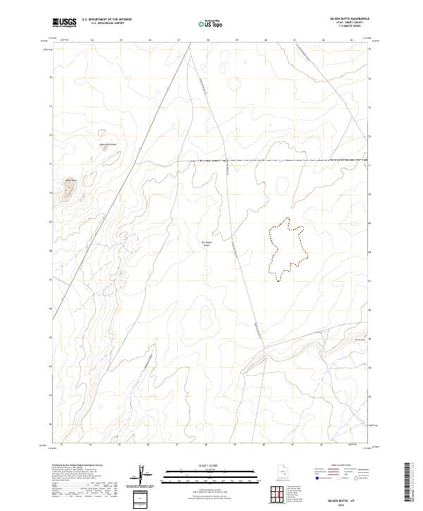
2023 Map of Gilson Butte
USGS Topo · Published 2023About this map
The San Rafael Desert dominates this terrain in Emery County, where the stark topography is defined by significant landmarks like Gilson Butte and Little Gilson Butte. The landscape is largely arid and open, punctuated by the seasonal drainage of Blackburn Draw and the distinctive elevations of The Flat Tops in the southeastern quadrant. Human infrastructure is limited to two primary thoroughfares: Lower San Rafael Rd, which cuts north-south through the desert floor, and the utility-focused route of SR-24/Rattlesnake Explor in the northeast. This 2023 survey provides a contemporary look at the section lines and natural landmarks that orient travelers and land managers through this portion of the Utah desert.
Find a feature on this map
7 named features on this map. Tap any name to fly to it.
Don’t see what you’re looking for? This feature index may not catch every label — zoom into the map to look around manually.
Map Details
Editions of this 2023 Gilson Butte Map
This is the sole edition of this map. No revisions or reprints were ever made.
Other maps of this area

1885 · San Rafael
USGS Topo · 1:250,000

1953 · Tidwell 3 NW
USGS Topo · 1:24,000

1953 · Temple Mtn
USGS Topo · 1:62,500

1954 · Stinking Springs Creek 4 SW
USGS Topo · 1:24,000

1954 · Stinking Spring Creek 4 NE
USGS Topo · 1:24,000

1954 · Stinking Spring Creek 4 NW
USGS Topo · 1:24,000

1954 · Stinking Spring Creek 4 SE
USGS Topo · 1:24,000

1954 · Mt. Ellen 1 NW
USGS Topo · 1:24,000

1956 · Salina
USGS Topo · 1:250,000

1960 · Salina
USGS Topo · 1:250,000