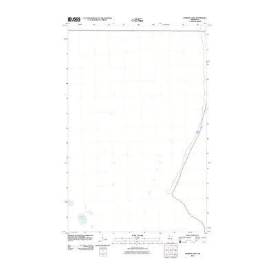
2010 Map of Gimiwan Lake
USGS Topo · Published 2010About this map
Gimiwan Lake and its surrounding wetlands define this quiet corner of Beltrami County. This 2010 survey highlights a remote and largely undeveloped landscape characterized by low-lying hydrography and minimal human infrastructure. The eastern edge of the quadrangle is marked by a north-south roadway that serves as a primary access point for the region, while the Ridge Lookout Tower stands as a significant landmark for forest management and fire observation. The minimal number of named features suggests a terrain preserved for natural resource management or conservation, with very few structures or secondary roads penetrating the interior beyond the established transportation corridors.
Find a feature on this map
2 named features on this map. Tap any name to fly to it.
Don’t see what you’re looking for? This feature index may not catch every label — zoom into the map to look around manually.
Map Details
Editions of this 2010 Gimiwan Lake Map
This is the sole edition of this map. No revisions or reprints were ever made.
Other maps of this area

1918 · Jelle
USGS Topo · 1:62,500

1919 · Churnes
USGS Topo · 1:62,500

1954 · Bemidji
USGS Topo · 1:250,000

1954 · Roseau
USGS Topo · 1:250,000

1957 · Roseau
USGS Topo · 1:250,000

1957 · Bemidji
USGS Topo · 1:250,000

1958 · Bemidji
USGS Topo · 1:250,000

1958 · Roseau
USGS Topo · 1:250,000
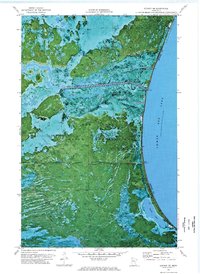
1972 · Berner NE
USGS Topo · 1:24,000
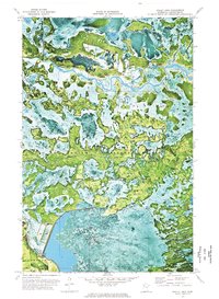
1972 · Bailey Lake
USGS Topo · 1:24,000