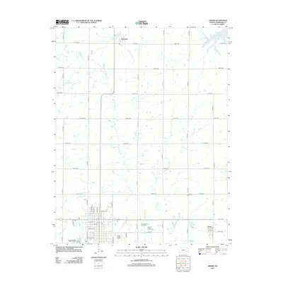
2012 Map of Girard
USGS Topo · Published 2012About this map
Girard serves as the focal point of this Crawford County landscape, where the town's residential grid meets the surrounding agricultural plains. The southern portion of the map reveals a community well-equipped with local infrastructure, including the Crawford County Fairgrounds, the Girard Municipal Golf Course, and the Ziggy Carline Airport. Smaller settlements such as Farlington to the north and Ringo to the southeast provide additional points of historical interest for those tracing the development of local township centers.
Find a feature on this map
60 named features on this map. Tap any name to fly to it.
Don’t see what you’re looking for? This feature index may not catch every label — zoom into the map to look around manually.
Map Details
Editions of this 2012 Girard Map
This is the sole edition of this map. No revisions or reprints were ever made.
Other maps of this area

1884 · Fort Scott
USGS Topo · 1:125,000

1886 · Joplin
USGS Topo · 1:125,000

1886 · Fort Scott
USGS Topo · 1:125,000

1893 · Fort Scott
USGS Topo · 1:125,000

1894 · Joplin
USGS Topo · 1:125,000

1943 · Cherokee
USGS Topo · 1:62,500

1945 · Pittsburg
USGS Topo · 1:62,500

1945 · Cherokee
USGS Topo · 1:62,500

1947 · Joplin
USGS Topo · 1:250,000

1947 · Pittsburg
USGS Topo · 1:62,500