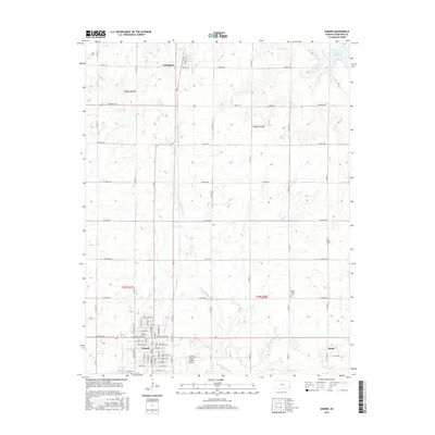
2015 Map of Girard
USGS Topo · Published 2015About this map
Girard serves as the focal point of this Kansas landscape, showing a dense grid of residential streets including W Maple, W Walnut St, and E Prairie St. To the north, the small settlement of Farlington sits near Frisco Lake and the upper reaches of W Fork Dry Wood Cr. The terrain is defined by a series of south-flowing waterways like Second Cow Cr, Clear Cr, and Thunderbolt Cr, which carve through the agricultural sections. Local infrastructure is evidenced by the Ziggy Carline Airport south of the main town and the Union Center Cem to the east. The map also captures Ringo on the eastern edge, providing a detailed look at the rural-to-urban transition in Crawford County during the mid-2010s.
Find a feature on this map
50 named features on this map. Tap any name to fly to it.
Don’t see what you’re looking for? This feature index may not catch every label — zoom into the map to look around manually.
Map Details
Editions of this 2015 Girard Map
This is the sole edition of this map. No revisions or reprints were ever made.
Other maps of this area

1884 · Fort Scott
USGS Topo · 1:125,000

1886 · Joplin
USGS Topo · 1:125,000

1886 · Fort Scott
USGS Topo · 1:125,000

1893 · Fort Scott
USGS Topo · 1:125,000

1894 · Joplin
USGS Topo · 1:125,000

1943 · Cherokee
USGS Topo · 1:62,500

1945 · Pittsburg
USGS Topo · 1:62,500

1945 · Cherokee
USGS Topo · 1:62,500

1947 · Joplin
USGS Topo · 1:250,000

1947 · Pittsburg
USGS Topo · 1:62,500