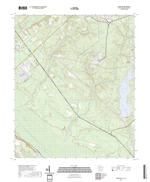
2024 Map of Girard NW
USGS Topo · Published 2024About this map
Blue Bluff overlooks the winding course of the Savannah River along the border of South Carolina and Georgia, where the river's floodplains meet the elevated terrain of Barnwell County. This landscape is defined by its intricate drainage network, with several significant tributaries including Upper Three Runs, Fourmile Branch, and Steel Creek flowing toward the main river channel. The topography reveals the transition from low-lying wetlands and swamps along the river to the upland forests. Infrastructure is notably centered on industrial and government utility, evidenced by the presence of Atomic Rd, a name that reflects the region's historical role in nuclear research and production at the nearby Savannah River Site. Other prominent waterways such as Pen Branch and Indian Grave Branch carve through the terrain, illustrating the dense hydrological profile of this coastal plain environment.
Find a feature on this map
12 named features on this map. Tap any name to fly to it.
Don’t see what you’re looking for? This feature index may not catch every label — zoom into the map to look around manually.
Map Details
Editions of this 2024 Girard NW Map
This is the sole edition of this map. No revisions or reprints were ever made.
Other maps of this area

1920 · Ellenton
USGS Topo · 1:48,000

1920 · Greens Cut
USGS Topo · 1:62,500

1920 · Talatha
USGS Topo · 1:48,000

1921 · Augusta
USGS Topo · 1:62,500

1921 · Talatha
USGS Topo · 1:62,500

1921 · Ellenton
USGS Topo · 1:62,500

1943 · Greens Cut
USGS Topo · 1:62,500

1943 · Augusta East
USGS Topo · 1:125,000

1943 · Talatha
USGS Topo · 1:62,500

1943 · Augusta
USGS Topo · 1:62,500