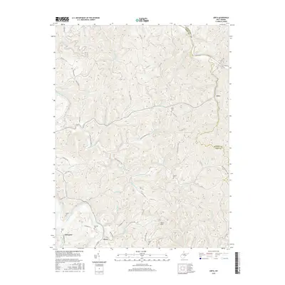
2016 Map of Girta
USGS Topo · Published 2016About this map
The Little Kanawha River snakes through the southwest corner of this West Virginia landscape, providing a low-lying valley floor for the settlements of Enterprise and Cherry. These riverside communities are connected by the L K Pkwy and Enterprise Rd, marking a significant hub of local movement amidst the deeply dissected plateaus of Wirt and Ritchie counties. Further north, the upland ridges are dotted with small, family-named burial grounds like Pine Twist Cem and Guthrie Cem, which serve as vital landmarks for genealogists tracing early Appalachian settlers.
Find a feature on this map
74 named features on this map. Tap any name to fly to it.
Don’t see what you’re looking for? This feature index may not catch every label — zoom into the map to look around manually.
Map Details
Editions of this 2016 Girta Map
This is the sole edition of this map. No revisions or reprints were ever made.
Other maps of this area

1906 · Elizabeth
USGS Topo · 1:62,500

1907 · Harrisville
USGS Topo · 1:62,500

1907 · Arnoldsburg
USGS Topo · 1:62,500

1907 · Spencer
USGS Topo · 1:62,500

1924 · Harrisville
USGS Topo · 1:62,500

1924 · Elizabeth
USGS Topo · 1:62,500

1925 · Arnoldsburg
USGS Topo · 1:62,500

1926 · Elizabeth
USGS Topo · 1:62,500

1926 · Harrisville
USGS Topo · 1:62,500

1927 · Arnoldsburg
USGS Topo · 1:62,500