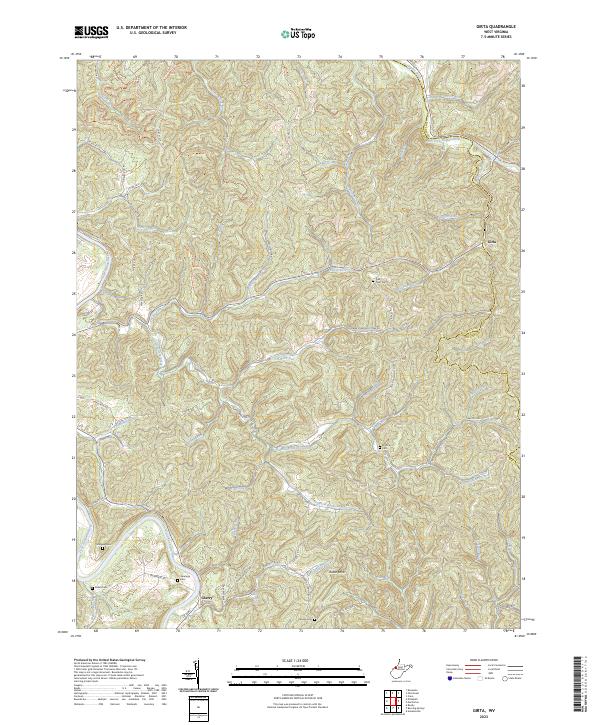
2023 Map of Girta
USGS Topo · Published 2023About this map
Girta and Cherry anchor this West Virginia landscape, which straddles the boundary between Wirt and Ritchie counties. The terrain is defined by a dense network of watercourses, most notably the South Fork Hughes River in the north and the Little Kanawha River in the southwest. These rivers are fed by dozens of named runs and forks, such as Standingstone Creek, Oil Rock Run, and Big Island Run, suggesting a historically fragmented settlement pattern where homes and roads followed narrow valley floors.
Find a feature on this map
75 named features on this map. Tap any name to fly to it.
Don’t see what you’re looking for? This feature index may not catch every label — zoom into the map to look around manually.
Map Details
Editions of this 2023 Girta Map
This is the sole edition of this map. No revisions or reprints were ever made.
Other maps of this area

1906 · Elizabeth
USGS Topo · 1:62,500

1907 · Harrisville
USGS Topo · 1:62,500

1907 · Arnoldsburg
USGS Topo · 1:62,500

1907 · Spencer
USGS Topo · 1:62,500

1924 · Harrisville
USGS Topo · 1:62,500

1924 · Elizabeth
USGS Topo · 1:62,500

1925 · Arnoldsburg
USGS Topo · 1:62,500

1926 · Elizabeth
USGS Topo · 1:62,500

1926 · Harrisville
USGS Topo · 1:62,500

1927 · Arnoldsburg
USGS Topo · 1:62,500