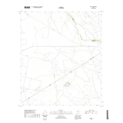
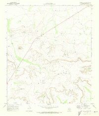
2019 Map of Girvin
USGS Topo · Published 2019About this map
Girvin sits at a strategic crossroads in the West Texas landscape, where the Pecos River serves as a natural boundary between Pecos, Crane, and Crockett counties. The settlement is centered near the intersection of several local routes, including the historic Old Girvin Rd and FM 11, reflecting a community tied to the transit and ranching economies of the Permian Basin region. The topography is dominated by the prominent Girvin Butte to the south, while the winding course of Comanche Cr feeds into the main river channel to the north.
Find a feature on this map
13 named features on this map. Tap any name to fly to it.
Don’t see what you’re looking for? This feature index may not catch every label — zoom into the map to look around manually.
Map Details
Editions of this 2019 Girvin Map
This is the sole edition of this map. No revisions or reprints were ever made.
Other maps of this area
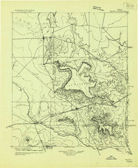
1928 · Crane
USGS Topo · 1:125,000
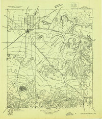
1928 · Comanche Spring
USGS Topo · 1:125,000
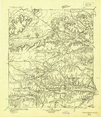
1929 · Independence Draw Quadrangle
USGS Topo · 1:125,000

1954 · Pecos
USGS Topo · 1:250,000

1954 · Fort Stockton
USGS Topo · 1:250,000
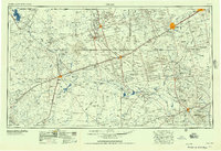
1957 · Pecos
USGS Topo · 1:250,000
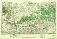
1958 · Fort Stockton
USGS Topo · 1:250,000
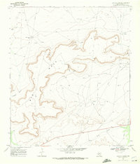
1969 · Bootleg Canyon
USGS Topo · 1:24,000
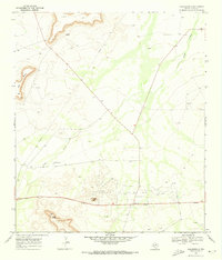
1969 · Bakersfield
USGS Topo · 1:24,000
1970 · Saddle Butte
USGS Topo · 1:24,000