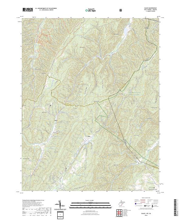
2023 Map of Glace
USGS Topo · Published 2023About this map
Glace and Pedro sit within a landscape defined by the ridgelines of the Allegheny Mountains, where the West Virginia and Virginia state line follows the crest of Big Ridge. The map documents a rugged rural topography where family history and conservation meet, seen in the Mabel Dowdy Nature Trl and the nearby Dowdy Cem. This area of the George Washington National Forest is deeply etched by water, with Cove Creek Spring and Big Spring feeding the local drainage networks. The settlement patterns follow the narrow valleys and hollows, such as Quarry Hollow and Falls Hollow, which have historically dictated the placement of small communities and crossroads. In the southern reach, Sweet Springs Valley provides a more open contrast to the steep elevations of Slaty Mtn and Middle Mountain.
Find a feature on this map
85 named features on this map. Tap any name to fly to it.
Don’t see what you’re looking for? This feature index may not catch every label — zoom into the map to look around manually.
Map Details
Editions of this 2023 Glace Map
This is the sole edition of this map. No revisions or reprints were ever made.
Other maps of this area

1887 · Lewisburg
USGS Topo · 1:125,000

1891 · Lewisburg
USGS Topo · 1:125,000

1921 · Callaghan
USGS Topo · 1:48,000

1921 · White Sulphur Springs
USGS Topo · 1:48,000

1921 · Ronceverte
USGS Topo · 1:48,000

1923 · White Sulphur Springs
USGS Topo · 1:62,500

1923 · Ronceverte
USGS Topo · 1:62,500

1923 · Callaghan
USGS Topo · 1:62,500

1935 · White Sulphur Springs
USGS Topo · 1:62,500

1939 · White Sulphur Springs
USGS Topo · 1:62,500