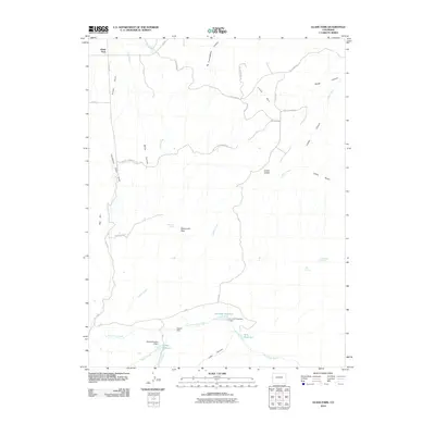
2010 Map of Glade Park
USGS Topo · Published 2010About this map
The high plateau of Glade Park in Mesa County is defined by a network of deep drainage systems and early water management infrastructure. Steep-walled terrain is prominent throughout the quadrangle, notably at No Thoroughfare Canyon, Miller Canyon, and Rough Canyon, while the dramatic ascent of Jacobs Ladder marks the transition between the valley floors and the higher benches like Clarks Bench. The landscape is dotted with essential water sources and man-made impoundments, including Thrailkill Spring, Schrader Reservoir, and King Reservoir. Local ranching history and land use are evidenced by named roads such as Miller Canyon Ranch Rd and infrastructure like the Aubert Dam and Gobbo Number 2 Dam. These features, alongside landmarks like Monument Rock, illustrate the challenges of water security and navigation in this arid region of the Colorado high country.
Find a feature on this map
42 named features on this map. Tap any name to fly to it.
Don’t see what you’re looking for? This feature index may not catch every label — zoom into the map to look around manually.
Map Details
Editions of this 2010 Glade Park Map
This is the sole edition of this map. No revisions or reprints were ever made.
Other maps of this area

1934 · Colorado National Monument
USGS Topo · 1:24,000

1956 · Moab
USGS Topo · 1:250,000

1956 · Grand Junction
USGS Topo · 1:250,000

1959 · Grand Junction
USGS Topo · 1:250,000

1959 · Moab
USGS Topo · 1:250,000

1960 · Moab
USGS Topo · 1:250,000

1960 · Grand Junction
USGS Topo · 1:250,000

1962 · Moab
USGS Topo · 1:250,000

1962 · Grand Junction
USGS Topo · 1:250,000

1962 · Colorado National Monument
USGS Topo · 1:24,000