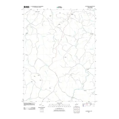
2011 Map of Gladesville
USGS Topo · Published 2011About this map
The community of Gladesville sits at a high point in Preston County, surrounded by a complex network of streams and ridges that define the West Virginia landscape. Numerous family burial grounds and historical sites are scattered across this terrain, including Summers Cemetery, Amnon Cemetery, and the Matthew Cemetery near Victoria. The drainage patterns are intricate, with Whiteday Creek and its many tributaries, such as Maple Run and Wickwire Run, carving through the hills toward the Three Fork Creek valley.
Find a feature on this map
83 named features on this map. Tap any name to fly to it.
Don’t see what you’re looking for? This feature index may not catch every label — zoom into the map to look around manually.
Map Details
Editions of this 2011 Gladesville Map
This is the sole edition of this map. No revisions or reprints were ever made.
Other maps of this area

1886 · St. George
USGS Topo · 1:125,000

1891 · St. George
USGS Topo · 1:125,000

1902 · Fairmont
USGS Topo · 1:62,500

1902 · Morgantown
USGS Topo · 1:62,500

1904 · Blacksville
USGS Topo · 1:62,500

1907 · Thornton
USGS Topo · 1:62,500

1923 · Blacksville
USGS Topo · 1:62,500

1923 · Fairmont
USGS Topo · 1:62,500

1925 · Blacksville
USGS Topo · 1:62,500

1925 · Morgantown
USGS Topo · 1:62,500