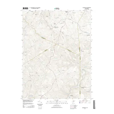
2014 Map of Gladesville
USGS Topo · Published 2014About this map
Triune and Halleck sit at the northern edge of this landscape, where the jagged boundaries of Monongalia, Marion, Preston, and Taylor counties converge. This complex intersection of jurisdictions is mirrored by the rugged topography surrounding Kincaid Knob, where numerous watercourses like Whiteday Cr and Wickwire Run have carved deep drainages into the West Virginia hills. The area is notable for its dense distribution of family-name burial grounds, including the Summers Cem, McConkey Cem, and Ammon Cem, suggesting a long-standing pattern of multi-generational rural settlement along the ridgelines.
Find a feature on this map
111 named features on this map. Tap any name to fly to it.
Don’t see what you’re looking for? This feature index may not catch every label — zoom into the map to look around manually.
Map Details
Editions of this 2014 Gladesville Map
This is the sole edition of this map. No revisions or reprints were ever made.
Other maps of this area

1886 · St. George
USGS Topo · 1:125,000

1891 · St. George
USGS Topo · 1:125,000

1902 · Fairmont
USGS Topo · 1:62,500

1902 · Morgantown
USGS Topo · 1:62,500

1904 · Blacksville
USGS Topo · 1:62,500

1907 · Thornton
USGS Topo · 1:62,500

1923 · Blacksville
USGS Topo · 1:62,500

1923 · Fairmont
USGS Topo · 1:62,500

1925 · Blacksville
USGS Topo · 1:62,500

1925 · Morgantown
USGS Topo · 1:62,500