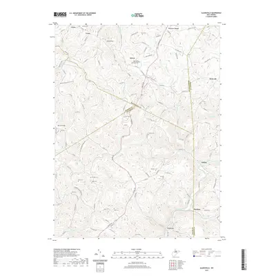
2019 Map of Gladesville
USGS Topo · Published 2019About this map
Victoria and Gladesville anchor this 2019 survey of the triple border between Monongalia, Preston, and Taylor Counties. The landscape is defined by the complex drainage of Three Fork Creek and Whiteday Cr, where a high density of family cemeteries and rural parishes speaks to generations of local settlement. Genealogists will find a wealth of named burial sites, from the Amnon Cem near Wickwire Run to the McConkey Cem and Rogers Cem situated along the winding ridges. Further north, the Hope Halleck United Methodist Church Cem serves as a landmark for the community of Halleck. This modern topographic study captures the area's rural character, where small clusters like Irontown and Hardman sit along the narrow valley floors, connected by a network of secondary roads that follow the steep contours of the West Virginia highlands.
Find a feature on this map
128 named features on this map. Tap any name to fly to it.
Don’t see what you’re looking for? This feature index may not catch every label — zoom into the map to look around manually.
Map Details
Editions of this 2019 Gladesville Map
This is the sole edition of this map. No revisions or reprints were ever made.
Other maps of this area

1886 · St. George
USGS Topo · 1:125,000

1891 · St. George
USGS Topo · 1:125,000

1902 · Fairmont
USGS Topo · 1:62,500

1902 · Morgantown
USGS Topo · 1:62,500

1904 · Blacksville
USGS Topo · 1:62,500

1907 · Thornton
USGS Topo · 1:62,500

1923 · Blacksville
USGS Topo · 1:62,500

1923 · Fairmont
USGS Topo · 1:62,500

1925 · Blacksville
USGS Topo · 1:62,500

1925 · Morgantown
USGS Topo · 1:62,500