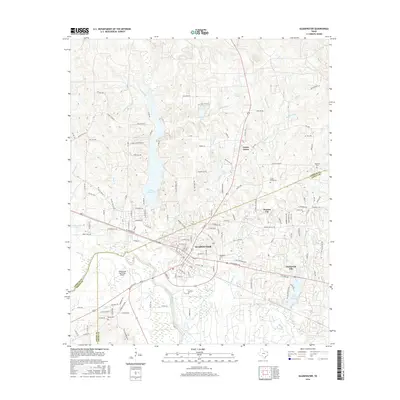
2016 Map of Gladewater
USGS Topo · Published 2016About this map
Gladewater and its surrounding communities are positioned across a landscape defined by the Sabine River and a complex network of creeks. In this modern survey, the intersection of industrial transport and residential growth is clear, with the Gladewater Municipal Airport and the sprawling waters of Lake Gladewater serving as significant regional anchors. The map documents the close proximity of satellite settlements such as Clarksville City, Warren City, and Union Grove, which are interwoven with newer residential developments like Silk Tree Lake Ests. Genealogists will find the locations of several burial grounds preserved, including Rosedale Cem, Union Grove Cem, and Edwards Cem. The terrain is marked by numerous small drainage basins, including Mitchell Br, Glade Cr, and Moody Cr, illustrating the hydrological environment that has shaped the development of these East Texas communities.
Find a feature on this map
108 named features on this map. Tap any name to fly to it.
Don’t see what you’re looking for? This feature index may not catch every label — zoom into the map to look around manually.
Map Details
Editions of this 2016 Gladewater Map
This is the sole edition of this map. No revisions or reprints were ever made.
Other maps of this area

1936 · Kilgore
USGS Topo · 1:48,000

1938 · Winona
USGS Topo · 1:48,000

1940 · Kilgore
USGS Topo · 1:62,500

1943 · Winona
USGS Topo · 1:62,500

1956 · Tyler
USGS Topo · 1:250,000

1960 · Big Sandy
USGS Topo · 1:24,000

1960 · Pritchett
USGS Topo · 1:24,000

1960 · White Oak
USGS Topo · 1:24,000

1960 · Gilmer
USGS Topo · 1:24,000

1960 · Glenwood
USGS Topo · 1:24,000