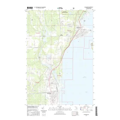
2017 Map of Gladstone
USGS Topo · Published 2017About this map
The industrial and maritime heritage of Michigan's Upper Peninsula centers on Escanaba and Gladstone, where the Escanaba River meets the waters of Lake Michigan. This 2017 study captures the modern infrastructure of these historic bayside communities, from the residential grids of Wells and Kipling to the wooded expanse of the Hiawatha National Forest bordering the northern reaches. The map details the complex shoreline of Little Bay de Noc, highlighting landforms like Saunders Point and Butlers Island. For those researching local family history, several prominent burial grounds are documented, including Fernwood Cem, Flat Rock Cem, and the Garden of Rest Cem. Transportation patterns are evident through the placement of the West Gladstone Airport and a network of county roads like Co RD d5 and Co 426 21st RD, which connect the smaller settlements of Larch, Groos, and Lambert to the urban centers.
Find a feature on this map
71 named features on this map. Tap any name to fly to it.
Don’t see what you’re looking for? This feature index may not catch every label — zoom into the map to look around manually.
Map Details
Editions of this 2017 Gladstone Map
This is the sole edition of this map. No revisions or reprints were ever made.
Other maps of this area
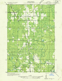
1932 · Gladstone NE
USGS Topo · 1:31,680
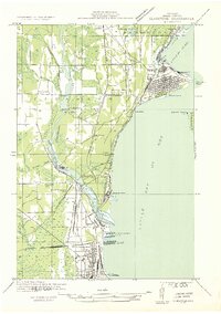
1932 · Gladstone SE
USGS Topo · 1:31,680
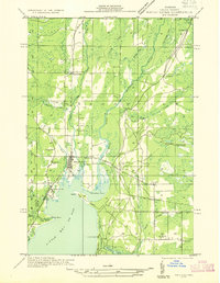
1932 · Rapid River NW
USGS Topo · 1:31,680
1932 · Rapid River SW
USGS Topo · 1:31,680
1932 · Gladstone SW
USGS Topo · 1:31,680
1932 · Gladstone NW
USGS Topo · 1:31,680
1950 · Gladstone NW
USGS Topo · 1:31,680
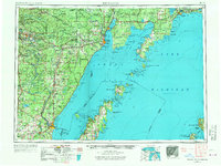
1954 · Escanaba
USGS Topo · 1:250,000
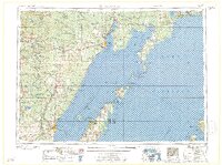
1957 · Escanaba
USGS Topo · 1:250,000
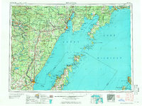
1958 · Escanaba
USGS Topo · 1:250,000