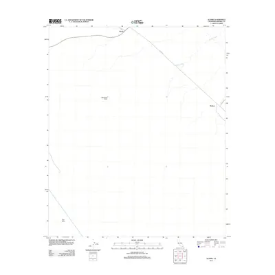
2012 Map of Glamis
USGS Topo · Published 2012About this map
The Algodones Dunes dominate this desert landscape, where shifting sands and vast drainage systems like Ninemile Wash define the terrain of the East Mesa. The settlement of Glamis sits at a critical junction of travel routes, serving as a gateway to the dune fields and the nearby Ted Kipp Rd. This 2012 survey illustrates the essential infrastructure required for desert life and transit, most notably the Coachella Canal cutting across the western edge of the quadrangle. To the southeast, the location of Ruthven and the presence of Vista Mine Rd suggest the historical and industrial connections to mineral extraction and rail-side stops that have long shaped this corner of Imperial County.
Find a feature on this map
8 named features on this map. Tap any name to fly to it.
Don’t see what you’re looking for? This feature index may not catch every label — zoom into the map to look around manually.
Map Details
Editions of this 2012 Glamis Map
This is the sole edition of this map. No revisions or reprints were ever made.
Other maps of this area
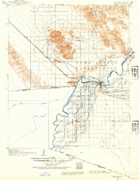
1903 · Yuma
USGS Topo · 1:125,000
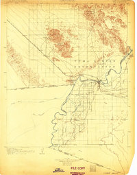
1905 · Yuma
USGS Topo · 1:125,000
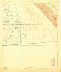
1907 · Holtville
USGS Topo · 1:125,000
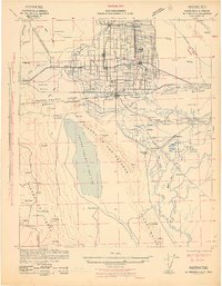
1942 · El Centro
USGS Topo · 1:250,000
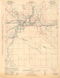
1942 · Yuma
USGS Topo · 1:250,000
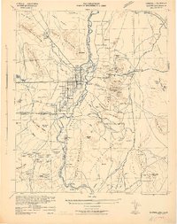
1942 · Blythe
USGS Topo · 1:250,000
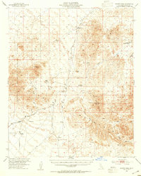
1953 · Quartz Peak
USGS Topo · 1:62,500
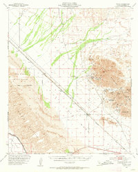
1953 · Ogilby
USGS Topo · 1:62,500
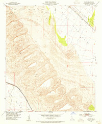
1953 · Cactus
USGS Topo · 1:24,000
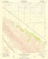
1953 · Acolita
USGS Topo · 1:24,000