
1953 Map of Glasco NE
USGS Topo · Published 1954About this map
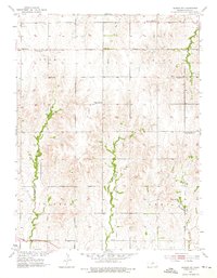
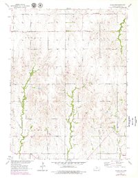
Macyville sits at the intersection of rural townships in north-central Kansas, serving as a focal point for the surrounding agricultural community. This mid-century landscape is defined by its organized grid of section lines and the drainages of Fisher Creek and Wolf Creek that cut through the undulating terrain. A high density of rural schoolhouses, including Highland Sch and Silver Arrow Sch, highlights the era's localized education system, though the labeling of Range Line Sch and Prairie Point Sch as abandoned signals the early stages of rural consolidation. The map preserves the locations of local landmarks such as Summit Ch and the Morrison Cem, providing essential geographic data for genealogists and local historians tracking family homesteads across the townships of Summit, Marion, Solomon, and Lyon.
Find a feature on this map
16 named features on this map. Tap any name to fly to it.
Don’t see what you’re looking for? This feature index may not catch every label — zoom into the map to look around manually.
Map Details
Editions of this 1953 Glasco NE Map
3 editions found
Other maps of this area

1892 · Concordia
USGS Topo · 1:125,000

1892 · Minneapolis
USGS Topo · 1:125,000

1952 · Glasco SW
USGS Topo · 1:24,000

1952 · Glasco
USGS Topo · 1:24,000

1953 · Simpson
USGS Topo · 1:24,000

1955 · Manhattan
USGS Topo · 1:250,000

1956 · Manhattan
USGS Topo · 1:250,000

1957 · Manhattan
USGS Topo · 1:250,000
1965 · Aurora SW
USGS Topo · 1:24,000
1965 · Aurora NW
USGS Topo · 1:24,000