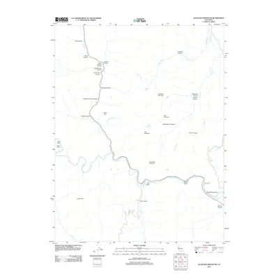
2012 Map of Glascock Mountain
USGS Topo · Published 2012About this map
Glascock Mountain and its surrounding canyons dominate this section of Yolo County, where the winding course of Cache Cr carves through the land. The topography is defined by a series of steep drainages, including Bear Canyon, Pole Bridge Canyon, and Rumsey Canyon, illustrating the erosive power of the regional waterways. This 2012 survey captures the area's transition from high peaks like Langs Peak to the flat geography of Buck Flats.
Find a feature on this map
41 named features on this map. Tap any name to fly to it.
Don’t see what you’re looking for? This feature index may not catch every label — zoom into the map to look around manually.
Map Details
Editions of this 2012 Glascock Mountain Map
This is the sole edition of this map. No revisions or reprints were ever made.
Other maps of this area

1907 · Colusa
USGS Topo · 1:62,500

1918 · Spring Valley
USGS Topo · 1:31,680

1920 · Venado
USGS Topo · 1:62,500

1942 · Colusa
USGS Topo · 1:62,500

1943 · Morgan Valley
USGS Topo · 1:62,500

1944 · Wilbur Springs
USGS Topo · 1:62,500

1944 · Morgan Valley
USGS Topo · 1:62,500

1945 · Rumsey
USGS Topo · 1:62,500

1947 · Santa Rosa
USGS Topo · 1:250,000

1949 · Santa Rosa
USGS Topo · 1:250,000