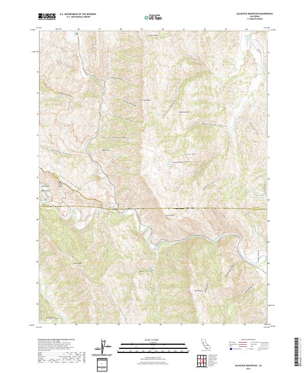
2021 Map of Glascock Mountain
USGS Topo · Published 2021About this map
Cache Creek winds through a complex network of ridges and canyons in this modern survey of the tri-county border region where Colusa, Lake, and Yolo counties meet. The landscape is dominated by significant elevations including Glascock Mtn, Anderson Mtn, and Langs Peak, which rise above a series of deeply incised drainage systems like Glascock Canyon and Pocket Canyon. This area, largely defined by its natural topography rather than human settlement, shows the persistent importance of water sources such as Little Sulphur Spring and Glascock Spring in an arid mountain environment.
Find a feature on this map
58 named features on this map. Tap any name to fly to it.
Don’t see what you’re looking for? This feature index may not catch every label — zoom into the map to look around manually.
Map Details
Editions of this 2021 Glascock Mountain Map
This is the sole edition of this map. No revisions or reprints were ever made.
Other maps of this area

1907 · Colusa
USGS Topo · 1:62,500

1918 · Spring Valley
USGS Topo · 1:31,680

1920 · Venado
USGS Topo · 1:62,500

1942 · Colusa
USGS Topo · 1:62,500

1943 · Morgan Valley
USGS Topo · 1:62,500

1944 · Wilbur Springs
USGS Topo · 1:62,500

1944 · Morgan Valley
USGS Topo · 1:62,500

1945 · Rumsey
USGS Topo · 1:62,500

1947 · Santa Rosa
USGS Topo · 1:250,000

1949 · Santa Rosa
USGS Topo · 1:250,000