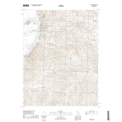
2017 Map of Glasgow
USGS Topo · Published 2017About this map
Glasgow sits prominently at a sharp bend in the Missouri River, where the Little Chariton River joins from the north. This riverfront orientation defines the landscape, with navigation features like Cambridge Bend and Bluff Port Reach marking the waterway's winding path through Howard, Saline, and Chariton Counties. The town's grid, featuring Market St and Commerce St, transitions into a dense network of county roads and state routes that service the surrounding agricultural uplands. Genealogy interests are well-served by the inclusion of multiple burial sites, including Washington Cem near the river and Sugar Grove Cem further east. The terrain is deeply dissected by numerous watercourses such as Hurricane Creek and Blue Creek, which feed into the primary river system. Small rural settlements like Steinmetz and landmarks such as Star Lake provide additional points of reference for local historians studying the early 21st-century configuration of this river-bluff region.
Find a feature on this map
60 named features on this map. Tap any name to fly to it.
Don’t see what you’re looking for? This feature index may not catch every label — zoom into the map to look around manually.
Map Details
Editions of this 2017 Glasgow Map
This is the sole edition of this map. No revisions or reprints were ever made.
Other maps of this area
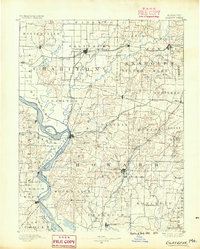
1890 · Glasgow
USGS Topo · 1:125,000
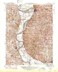
1947 · Glasgow
USGS Topo · 1:62,500
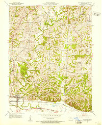
1952 · New Franklin
USGS Topo · 1:24,000
1953 · Moberly
USGS Topo · 1:250,000
1953 · Fayette
USGS Topo · 1:24,000
1953 · Armstrong
USGS Topo · 1:24,000
1954 · Moberly
USGS Topo · 1:250,000
1956 · Forest Green
USGS Topo · 1:24,000
1956 · Cambridge
USGS Topo · 1:24,000
1957 · Moberly
USGS Topo · 1:250,000