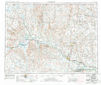
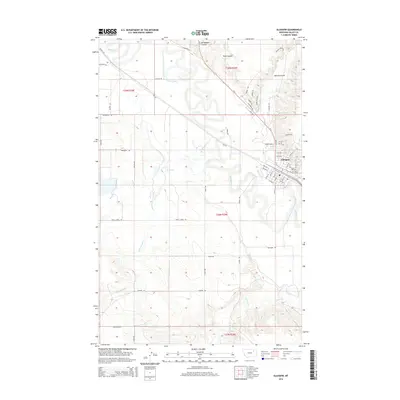
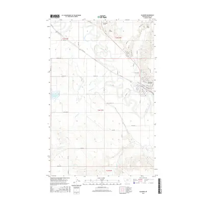
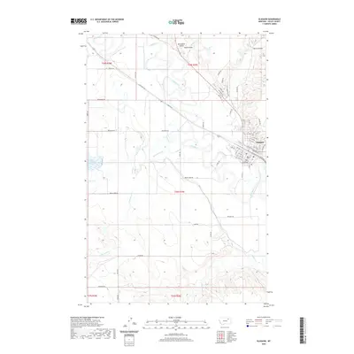
1954 Map of Glasgow
USGS Topo · Published 1978About this map
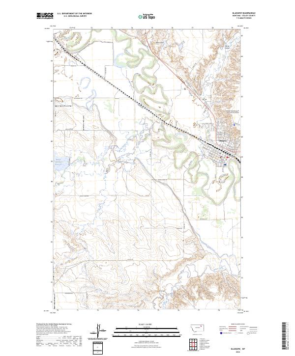
Glasgow Air Force Base stands as a prominent cold-war installation northeast of Glasgow, marking a landscape defined by the intersection of military strategy and expansive Montana ranchland. This 1970s revision of earlier data traces the corridor of the Milk River and the Burlington Northern railroad, where grain sidings and small settlements like Vandalia and Tampico follow the tracks. The map details a transition from the agricultural valley to the high, broken ground of the Larb Hills and numerous named drainages such as Eagles Nest Coulee. Conservation and indigenous land use are heavily represented, with the boundaries of the Fort Peck Indian Reservation and the Charles M. Russell National Wildlife Range covering significant portions of the southeast. To the north, the isolated West Fork Post Office and the border town of Opheim anchor a sparse network of roads reaching toward the United States Canada border.
Find a feature on this map
57 named features on this map. Tap any name to fly to it.
Don’t see what you’re looking for? This feature index may not catch every label — zoom into the map to look around manually.
Map Details
Editions of this 1954 Glasgow Map
2 editions found

Historical Maps of Glasgow Through Time
11 maps found

1943 Glasgow
Valley County, MT
1954 Glasgow
Valley County, MT

1957 Glasgow
Valley County, MT

1958 Glasgow
Valley County, MT
1958 Glasgow
Valley County, MT
1984 Glasgow
Valley County, MT
2011 Glasgow
Valley County, MT
2014 Glasgow
Valley County, MT
2017 Glasgow
Valley County, MT
2020 Glasgow
Valley County, MT
2024 Glasgow
Valley County, MT