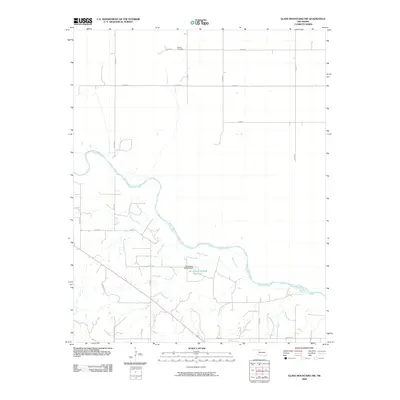
2009 Map of Glass Mountains NW
USGS Topo · Published 2009About this map
Galena Cemetery sits at the northern edge of this Woods County landscape, serving as a quiet focal point for local genealogy in a region defined by its wide river valleys and section-line roads. The Cimarron River winds diagonally across the terrain, creating a complex network of sandbars and shifting banks that dictate the local geography. Feeding into this main artery is Barney Creek, which drains the southern portion of the quadrangle. Human modification of the drainage pattern is evident at the Oknoname 093004 Dam, which contains the Oknoname 093004 Reservoir. The area is otherwise characterized by a strict grid of rural routes, including e0370 RD and n2450 RD, which facilitate movement between the dispersed farmsteads of the Oklahoma plains.
Find a feature on this map
18 named features on this map. Tap any name to fly to it.
Don’t see what you’re looking for? This feature index may not catch every label — zoom into the map to look around manually.
Map Details
Editions of this 2009 Glass Mountains NW Map
This is the sole edition of this map. No revisions or reprints were ever made.
Other maps of this area

1955 · Woodward
USGS Topo · 1:250,000

1958 · Woodward
USGS Topo · 1:250,000

1969 · Phroso
USGS Topo · 1:24,000

1969 · Dacoma SW
USGS Topo · 1:24,000

1969 · Glass Mountains NW
USGS Topo · 1:24,000

1969 · Glass Mountains
USGS Topo · 1:24,000

1969 · Waynoka East
USGS Topo · 1:24,000

1969 · Glass Mountains NE
USGS Topo · 1:24,000

1969 · Togo
USGS Topo · 1:24,000

1969 · Glass Mountains SW
USGS Topo · 1:24,000