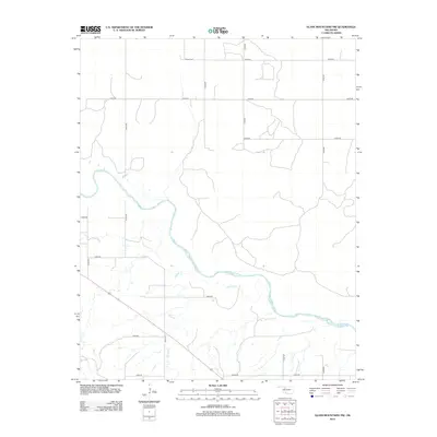
2012 Map of Glass Mountains NW
USGS Topo · Published 2012About this map
Cimarron River winds extensively through this Woods County landscape, creating a wide alluvial path that dominates the central terrain. To the north, the solitary Galena Cem serves as a significant genealogical marker for the area, situated near the intersection of e0360 RD and n2420 RD. The hydrological network is further defined by Barney Cr, which feeds into the larger river system from the west. This 2012 survey illustrates a section of Oklahoma where the land is strictly divided by a grid of rural routes, including n2410 RD and e0410 RD, reflecting the persistent agricultural and ranching layout of the region. The map provides a clear view of the drainage patterns and secondary roads that connect these remote homesteads and land tracts.
Find a feature on this map
18 named features on this map. Tap any name to fly to it.
Don’t see what you’re looking for? This feature index may not catch every label — zoom into the map to look around manually.
Map Details
Editions of this 2012 Glass Mountains NW Map
This is the sole edition of this map. No revisions or reprints were ever made.
Other maps of this area

1955 · Woodward
USGS Topo · 1:250,000

1958 · Woodward
USGS Topo · 1:250,000

1969 · Phroso
USGS Topo · 1:24,000

1969 · Dacoma SW
USGS Topo · 1:24,000

1969 · Glass Mountains NW
USGS Topo · 1:24,000

1969 · Glass Mountains
USGS Topo · 1:24,000

1969 · Waynoka East
USGS Topo · 1:24,000

1969 · Glass Mountains NE
USGS Topo · 1:24,000

1969 · Togo
USGS Topo · 1:24,000

1969 · Glass Mountains SW
USGS Topo · 1:24,000