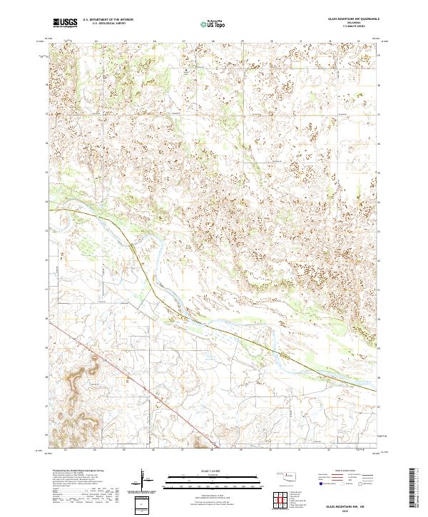
2022 Map of Glass Mountains NW
USGS Topo · Published 2022About this map
The Cimarron River winds southeast across this landscape, marking the boundary between Woods Co and Major Co. The terrain is characterized by the broad river valley and its tributary drainage, including Barney Cr, which feeds into the main waterway. While the area is primarily rural, the presence of Galena Cem in the northern portion of the survey offers a point of interest for those tracing family history or the early settlement of the Glass Mountains area.
Find a feature on this map
25 named features on this map. Tap any name to fly to it.
Don’t see what you’re looking for? This feature index may not catch every label — zoom into the map to look around manually.
Map Details
Editions of this 2022 Glass Mountains NW Map
This is the sole edition of this map. No revisions or reprints were ever made.
Other maps of this area

1955 · Woodward
USGS Topo · 1:250,000

1958 · Woodward
USGS Topo · 1:250,000

1969 · Phroso
USGS Topo · 1:24,000

1969 · Dacoma SW
USGS Topo · 1:24,000

1969 · Glass Mountains NW
USGS Topo · 1:24,000

1969 · Glass Mountains
USGS Topo · 1:24,000

1969 · Waynoka East
USGS Topo · 1:24,000

1969 · Glass Mountains NE
USGS Topo · 1:24,000

1969 · Togo
USGS Topo · 1:24,000

1969 · Glass Mountains SW
USGS Topo · 1:24,000